
It can limit surface access for drilling if your tract sits within or very close to the refuge, even though the underlying mineral ownership isn't extinguished. Confirming your exact boundary position matters.
Sell Mineral Rights in Medicine Lake, MT
Medicine Lake sits next to a national wildlife refuge, and that boundary shapes what's realistically drillable on nearby mineral acreage the same way a park boundary would.
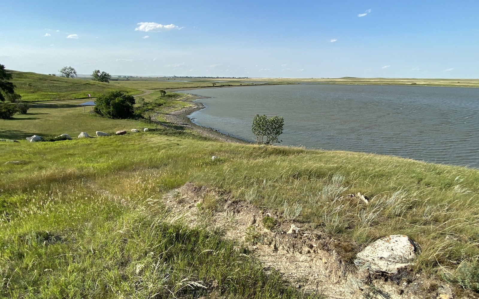
The Medicine Lake National Wildlife Refuge covers a meaningful footprint in this part of Sheridan County, and federal refuge land generally isn't available for new oil and gas leasing the way private or state land is. If your mineral interest sits within or adjacent to the refuge boundary, that's the first thing worth confirming, because it changes what's realistic for the interest regardless of the underlying geology.
Away from the refuge, this part of the county has seen scattered conventional development over the decades, generally lighter than the more active fields further south in Richland and Roosevelt counties.
Confirming your tract's relationship to the refuge
Compare your legal description against current U.S. Fish and Wildlife Service refuge boundary maps and your Sheridan County plat. Private mineral ownership inside a refuge boundary is not automatically extinguished, but surface access for drilling can be significantly restricted, which affects practical development potential even where the rights themselves remain intact.
If your tract is outside the refuge, standard Montana leasing and development considerations apply, subject to how much activity has historically occurred in that specific area.
Pricing an interest with access complications
Where surface access is limited, value leans more heavily on the possibility of directional drilling from outside the restricted area reaching your minerals, similar to how operators route around difficult terrain elsewhere in the basin. That's a real but more uncertain path than straightforward surface access, and pricing should reflect that uncertainty honestly.
If your interest sits well clear of the refuge, don't let its proximity on a map understate its value. Confirm the actual boundary line before assuming any restriction applies to you.
Begin with the local record trail
A mineral review here starts with the county recording office, legal description, deed chain, reservations, lease, units, division orders, payor records, statements, and state well data.
Route local questions correctly
Probate, marital property, dormant-mineral rules, pooling, recording, transfer, regulatory filings, and payor notices differ between North Dakota and Montana and sometimes between counties. Qualified advisers should review those questions.
Keep the local review tract-specific
Use the local context as a prompt, not a valuation shortcut. Medicine Lake, MT sits near a national wildlife refuge that limits surface access in places. The Bakken acquisition desk explains how that affects nearby mineral rights. The review desk then reconciles the exact tract against gross and net acres, ownership fraction, producing and inactive wells, paid decimal, recent statements, lease burdens, title exceptions, and the complete written offer. That comparison keeps a familiar town or county name from standing in for the record that actually controls price and closing.
Questions Bakken Owners Ask
Does a wildlife refuge boundary affect your mineral rights?
Can operators still reach minerals inside a refuge from outside it?
Sometimes, using directional or horizontal drilling from a pad sited on unrestricted land. It's a more complex and less certain path than standard surface access.
Is there active drilling near Medicine Lake right now?
Generally limited. This part of Sheridan County has seen lighter development than the more active fields further south in Richland and Roosevelt counties.
Keep Reading
More Bakken Guides for Owners
Bakken owner desk
Get a Straight Read on Your Bakken Interest
Share the county, owner name, interest type, producing status, recent statements if available, and the decision that needs a clearer answer.